UN
8 Leatfield Drive
£ 357,500
Description
We don't have a Description for this property.
- Bedrooms
- 4
- Bathrooms
- 0
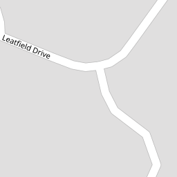
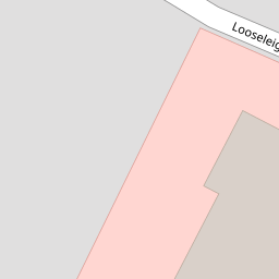

Leaflet © OpenStreetMap contributors
The heatmap indicates the level of crime in the area. The color of the heatmap indicates the crime severity and recency.
Metrics Year-on-Year
- Average area value
- 347,965.00 £Increased by 8.23 %
- Average area rental value
- 1,054.00 £/moIncreased by 24.15 %
- Est rental Yield
- 3.63 %Increased by 14.51 %
- Crime Rate
- 2.00 %Unchanged by 0.00 %
from 321,500.00 £
from 849.00 £/mo
from 3.17 %
from 2.00 %
Nearby Schools
| Name | Type | Ofsted | Distance |
|---|---|---|---|
| Notre Dame Rc School | Academy Converter | Good | 0.28 KM |
| Beechwood Primary Academy | Academy Converter | Good | 1.12 KM |
| Southernway Children'S Centre | Children's Centre | 1.14 KM | |
| Woodlands School | Foundation Special School | Good | 1.29 KM |
| Oakwood Primary Academy | Academy Converter | Good | 1.36 KM |
Images
Nearby Streets
| Name | Average Price | Average Sqft | Distance |
|---|---|---|---|
| Notre Dame Close | £ 0 | 0 | 0.00 KM |
| Berkeley Square | £ 545,000 | 0 | 0.00 KM |
| Charlton Road | £ 0 | 0 | 0.00 KM |
| Grosvenor Road | £ 310,000 | 0 | 0.00 KM |
| Richmond Road | £ 325,000 | 0 | 0.00 KM |
Nearby Transport
| Name | NLC | TLC | Distance |
|---|---|---|---|
| Plymouth | 3580 | PLY | 4.89 KM |
| Devonport | 3579 | DPT | 6.54 KM |
| Keyham | 3571 | KEY | 6.59 KM |
| Dockyard (Devonport) | 3588 | DOC | 6.72 KM |
| St Budeaux Ferry Road | 3590 | SBF | 6.82 KM |
Nearby Listings
| Address | Price | Type | Score | Distance |
|---|---|---|---|---|
| Leatfield Drive, Derriford | £ 950,000 | BUY | Unknown | 0.12 KM |
| Esthwaite Lane, Derriford, Plymouth | £ 995,000 | BUY | 7 / 10 | 0.18 KM |
| Windermere Crescent, Derriford, Plymouth | £ 550,000 | BUY | Unknown | 0.18 KM |
| Derriford, Plymouth | £ 995,000 | BUY | Unknown | 0.23 KM |
| Derriford, Plymouth | £ 995,000 | BUY | Unknown | 0.23 KM |
Nearby Properties
| Address | Price | Distance |
|---|---|---|
| 9 Leatfield Drive | £ 265,000 | 0.00 KM |
| 6 Leatfield Drive | £ 320,000 | 0.00 KM |
| 19 Leatfield Drive | £ 322,000 | 0.00 KM |
| 24 Leatfield Drive | £ 395,000 | 0.00 KM |
| 8 Leatfield Drive | £ 357,500 | 0.00 KM |